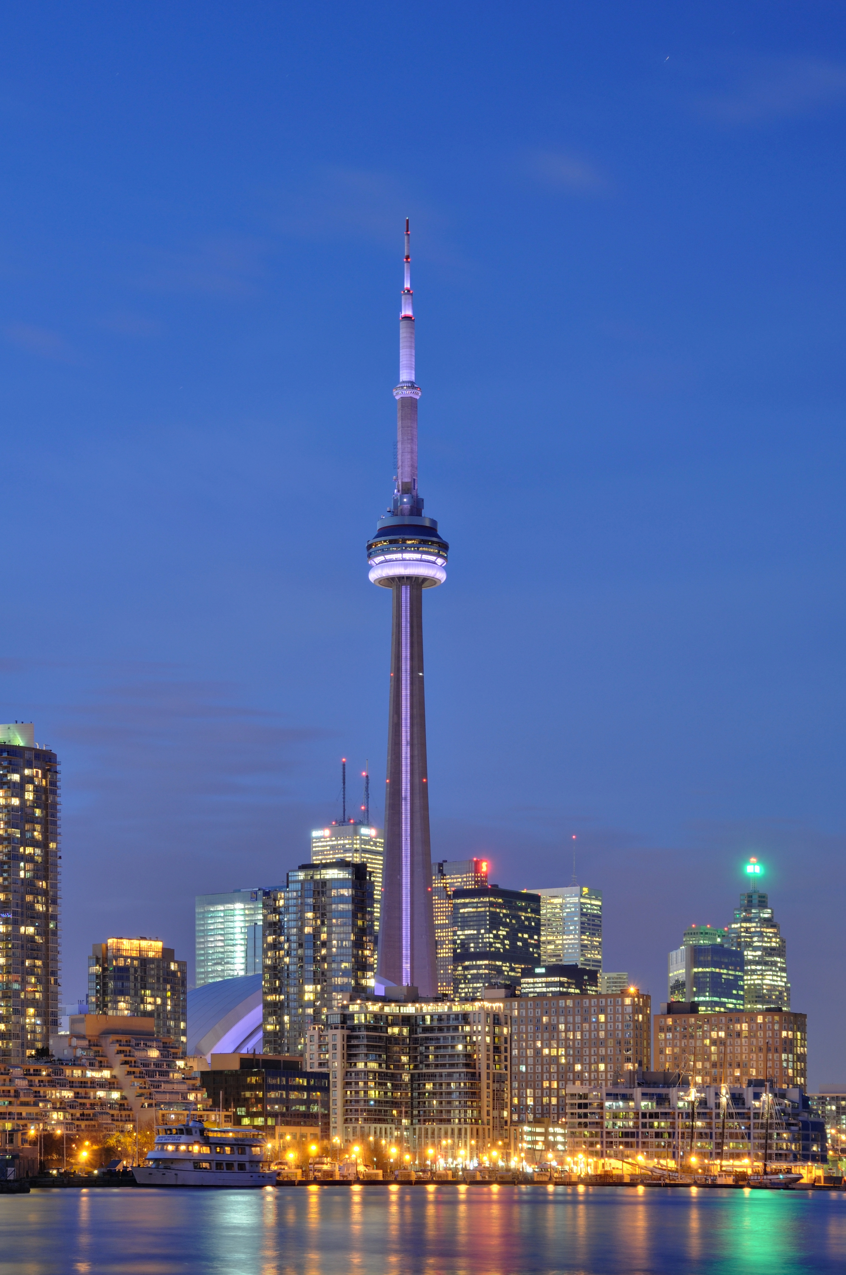
Structural Engineering
CN Tower Engineering
How Toronto's landmark was designed, poured and stabilized for height, wind and broadcasting.
Read the guide →A full editorial reference on how engineering, waterfront geography and downtown growth combined to create Toronto's most recognizable landmark image.
How Toronto's landmark was designed, poured and stabilized for height, wind and broadcasting.
Read the guide →Browse the full guide — organised by topic so you find what matters to your situation.
How Toronto's landmark was designed, poured and stabilized for height, wind and broadcasting.
Read article →Why Toronto's high-rise silhouette looks the way it does from the waterfront, islands and inner city.
Read article → Design HistoryHow Seattle's futuristic exposition helped normalize the modern observation tower as a civic symbol.
Read article → Comparative ArchitectureFrom Eiffel Tower to Tokyo Skytree, how cities use vertical landmarks to stage views and identity.
Read article → Waterfront PlanningHow port history, parks and redevelopment shaped Toronto's relationship with Lake Ontario.
Read article → Regional GeographyThe Great Lake basin conditions that shape Toronto's harbor, climate and regional significance.
Read article →The connected neighborhoods and precincts that surround the CN Tower and define central Toronto.
Read article → Architecture HistoryPostwar Canadian design culture, corporate towers and the architectural context surrounding the CN Tower.
Read article → ReferenceFAQ on Toronto landmarks: CN Tower facts, skyline viewpoints, waterfront access, downtown districts and architecture context.
Read article →