From Industrial Shoreline to Public Edge
For much of its history, Toronto's waterfront served transport, warehousing, shipping and rail functions more than leisure. Infill, docks and industrial yards gradually pushed the shoreline outward, creating a heavily managed edge rather than a natural beach-to-city transition.
Late twentieth-century redevelopment began to reclaim the lakefront for parks, promenades, housing and cultural uses. That shift changed not only land use but civic perception: the waterfront became a place to experience the city, not merely a zone that serviced it.
Toronto's waterfront is largely a constructed landscape. Understanding it requires attention to engineering, fill, port history and real-estate strategy as much as to scenery.
Harbourfront, Queens Quay and Public Realm
Harbourfront redevelopment introduced a model of mixed urban use organized around promenades, cultural venues and improved pedestrian access. Queens Quay evolved from a traffic-heavy corridor into a more complete waterfront street with transit, cycling and public-space upgrades.
These interventions matter because skyline viewing is not abstract. The quality of the public realm determines whether residents can actually inhabit the famous postcard perspective rather than merely consume it from isolated lookouts.
- Promenades create continuous visual access to the skyline
- Transit integration reduces the waterfront's former barrier effect
- Parks and marinas soften the transition between city and lake
The Waterfront as Viewing Platform
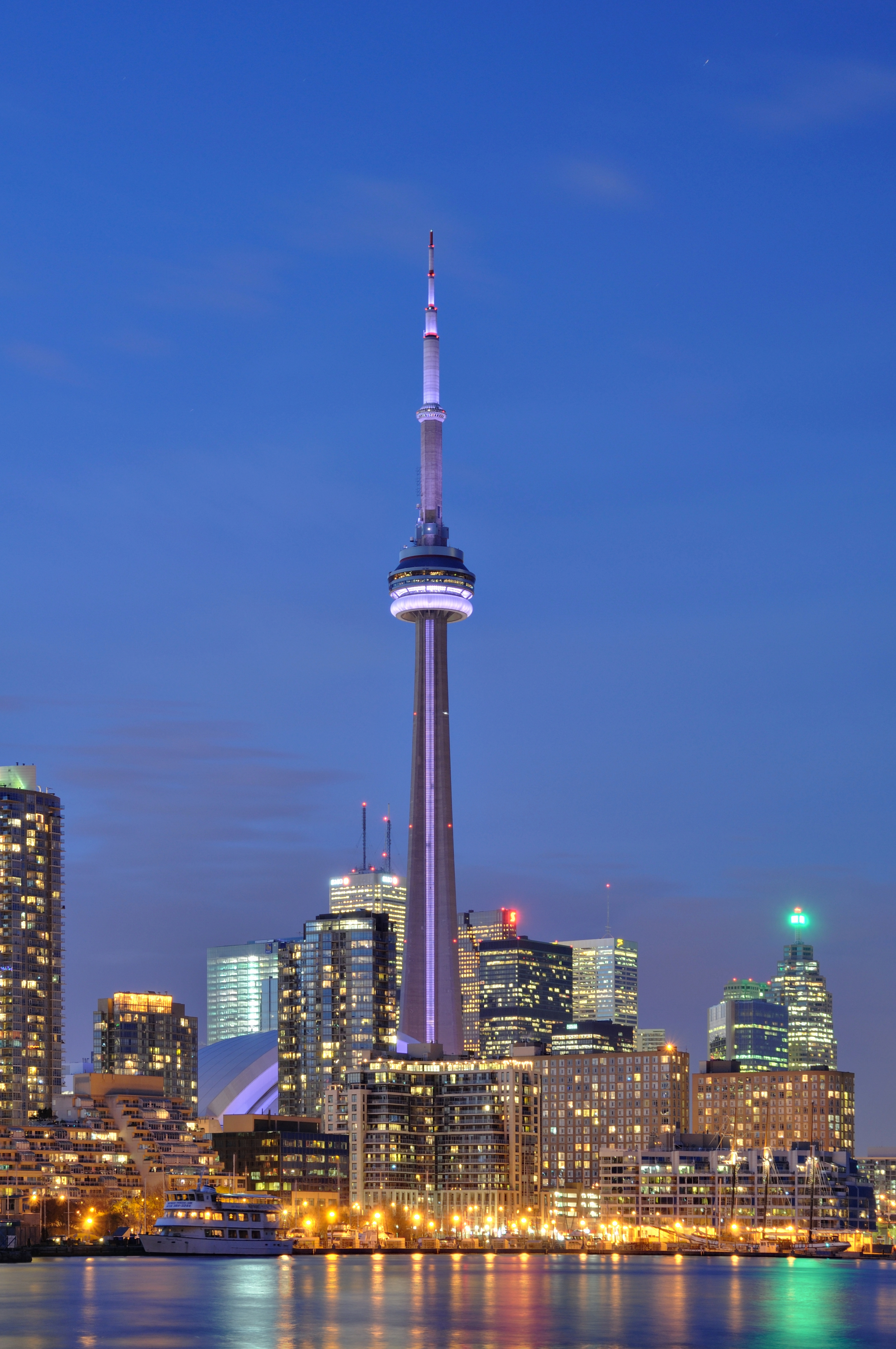
Toronto's waterfront does more than host activity; it stages the skyline. The open water and low-rise foreground give the CN Tower and downtown cluster room to read as a coherent composition, especially from ferry docks, marinas and the islands.
That staging effect is central to the city's identity. A visitor walking the lakefront experiences Toronto first as a horizon, then as a grid of streets and districts. The waterfront is therefore both public space and interpretive frame.
Few skyline icons are so dependent on a waterfront foreground. In Toronto, the view corridor is almost as important as the buildings being viewed.
Climate, Flood Resilience and Shoreline Futures
Waterfront planning now includes flood protection, habitat restoration and climate adaptation alongside real-estate development. Rising storm intensity and changing lake conditions require more robust shoreline design, especially at river mouths and low-lying parcels.
Recent planning efforts treat resilience as a design opportunity rather than only a technical obligation. Parks, berms, wetlands and regraded public spaces can protect urban districts while improving access and biodiversity.
- Engineered shorelines must balance access with resilience
- Flood-protection projects influence future development parcels
- Ecological restoration reintroduces habitat to a historically industrial edge
Why the Waterfront Matters to the CN Tower Story
The CN Tower's visual fame depends on this lakefront setting. Without the broad open apron of the harbor and islands, the tower would still be impressive, but far less cinematic and far less central to the city's self-image.
Toronto's landmark, in other words, is partly a product of geography and partly a product of waterfront planning. The city learned to preserve and curate the vantage points from which its own skyline could become iconic.